
New paper: Footprints in the sky – using student track logs in Google Earth to enhance learning
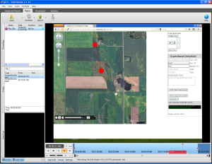 In 2011-2012, together with Richard Treves, I was awarded a Google Faculty Research Award, and we were lucky to work with Paolo Battino for about a year, exploring how to use Google Earth tours for educational aims. The details of the projects and some reports from the project are available on Richard’s blog, who was leading on many aspects of the work. Now, over 2 years since the end of the project, we have a publication in the Journal of Geography in Higher Education. The paper, titled ‘Footprints in the sky: using student track logs from a “bird’s eye view” virtual field trip to enhance learning’, is now out and describes the methodology that we developed for tracking students’ actions.
The abstract of the paper is:
Research into virtual field trips (VFTs) started in the 1990s but, only recently, the maturing technology of devices and networks has made them viable options for educational settings. By considering an experiment, the learning benefits of logging the movement of students within a VFT are shown. The data are visualized by two techniques: “animated path maps” are dynamic animations of students’ movement in a VFT; “paint spray maps” show where students concentrated their visual attention and are static. A technique for producing these visualizations is described and the educational use of tracking data in VFTs is critically discussed.
The paper is available here, and special thanks to Ed Parsons who advised us during the project.

![]()