Graphic Watercolour Map
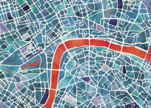
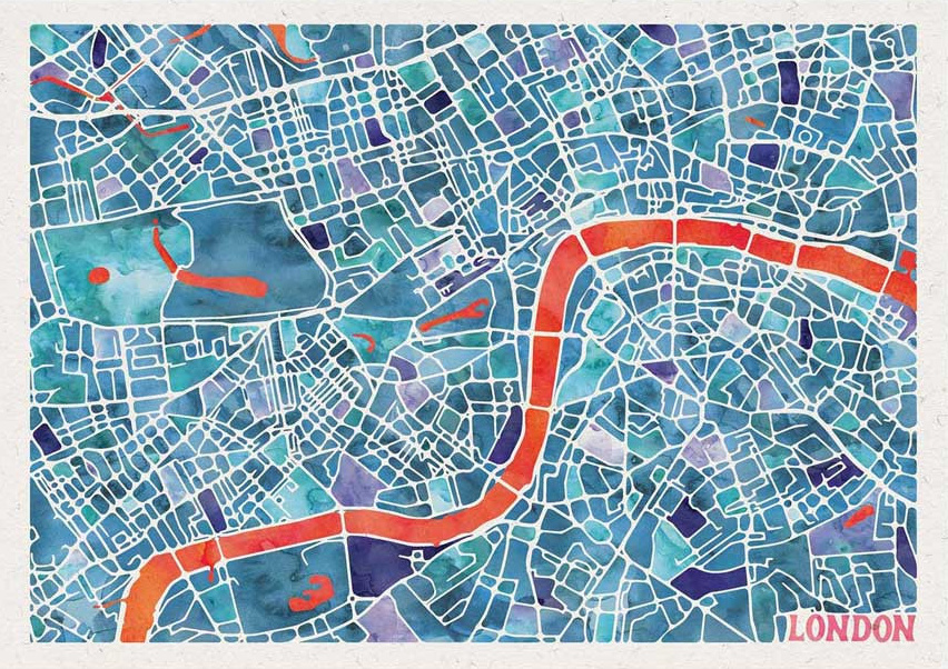
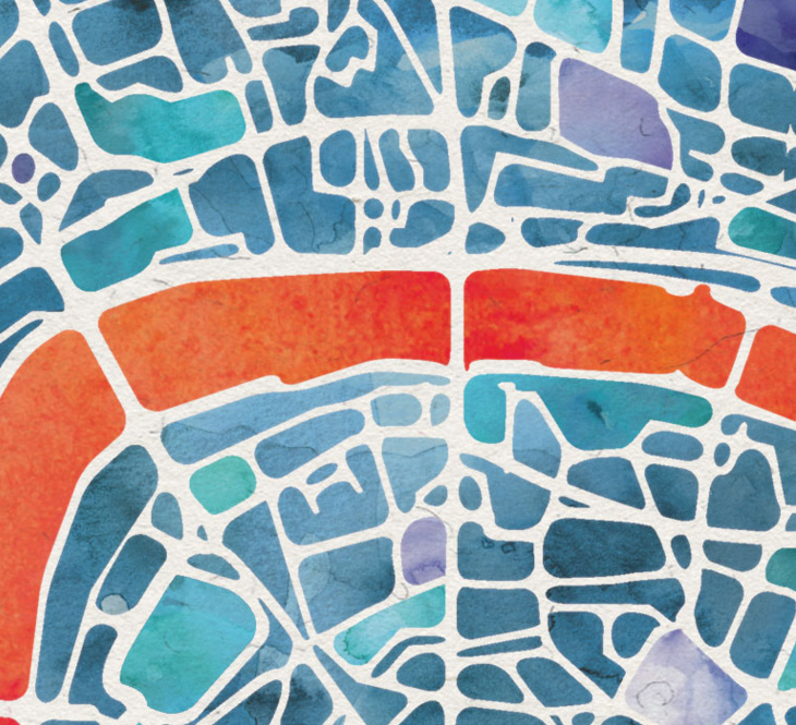
Here’s a lovely looking artistic map of London. Created by Ben Grib in a “watercolour” style and produced as a print on “natural” textured art paper with plenty of grain, the Graphic Watercolour Map shows the spaces between streets with a characteristic painted look, the tones varying from block to block. The remaining white space between the blocks forms the familiar central London street network, stretching from King’s Cross in the north to Battersea Park in the south. The most striking visual feature is the River Thames, shown here as a broad, vivid orange stripe moving across the middle of the map.
There’s something rather nice about living in London and having a London map on the wall, but not one that looks excessively detailed or wordy. This is just such a map – one for appreciating London’s confusing street structure, but which looks nice as a artpiece on a wall, rather than crumpled in your pocket.
See more photos and buy the print at Great Little Place.
This is the second of a number of lovely London art print maps from Great Little Place that we hope to feature on Mapping London over the next few months.
Mapping London is delighted to be affiliated to Great Little Place. We are looking forward to featuring a number of their lovely London map-based art prints here on Mapping London, in the months ahead. The photos are from the store and Ben Grib’s portfolio, and thank you also to Great Little Place for sending a review copy.