

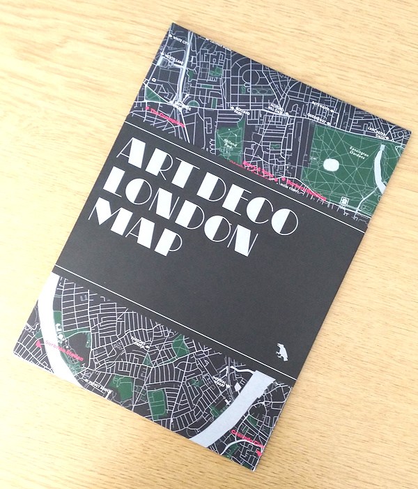
Art Deco London Map
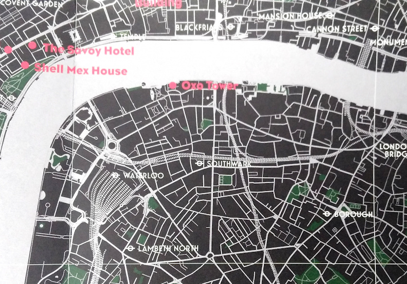
Following on from their Brutalist London Map, Blue Crow Media have moved back a few decades and produced this new map of Art Deco London. The map is presented in an attractive slip and folds out to A2. It’s printed on silver paper, which gives the roads and rivers a lovely, sparkly sheen to them. As well as the silver background, the colours used (black, with white station symbols and dark green parks) gives the map a rather unique feel. The map reveals the locations of London’s key Art Deco (1920s-40s) buildings, in red.
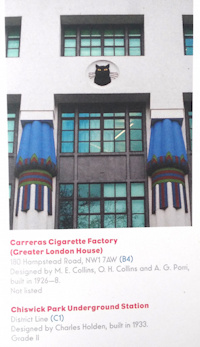 Art Deco buildings come both the imposing and the delicate. Former examples include Senate House, the chunky building that is the University of London library (and allegedly was going to be the UK HQ for the Germans if they had won the Battle of Britain), and the London Underground HQ at 55 Broadway, which sits above St James’ Park station. More delicate buildings include the gorgeous former Daily Express building on Fleet Street (which has this amazing staircase), and the equally curvy Florin Court in Charterhouse. Oxo Tower is there. Famously, the chimney had windows shaped as “O”, “X”, and “O”, to get around strict advertising regulations of the time. Plus Battersea Power Station also gets a mention, even if it is (temporarily) without its iconic towers. The reverse of the map includes a complete list of the buildings that are highlighted on the map, including the designer, build year and listing status.
You can find the map at the Blue Crow Media shop for £8, and it will also soon be for sale in some of the Art Deco buildings which have visitor centres. The map was produced in conjunction with the 20th Century Society and uses OpenStreetMap’s rich dataset as its background.
Thanks to Blue Crow Media for sending a review copy.