
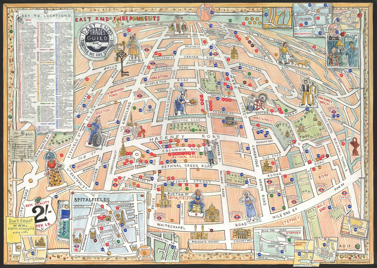
East End Independents
This hand-sketched map has been produced by Adam Dant and Herb Lester, for the East End Trades Guild, to promote over 200 small businesses based in east and north-east London. Over a hundred of these are independent shops, cafes and restaurants to visit.
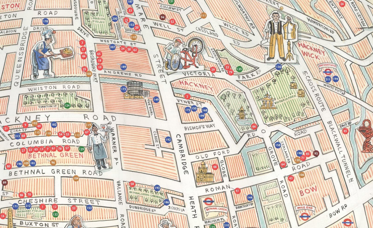
The map is presented with an unusual projection, focusing on Columbia Road near the bottom of the map (with the greatest concentration of featured businesses) with the rest of the area curving away as you look towards the top. Some places beyond the bounds of the map are included as little adornments attached to the map, which is in the style of a pinboard. Cardboard cutout-style illustrations show some businesses at work, while parks, tube stations and water features also show. The built up fabric between the road network is nicely illustrated a vertical hatching effect.
The overall effect is really rather lovely, and a million miles away from the ubiquitous Google Maps map with icon pins – it has its place, is accessible and is certainly an “easy” option, but putting points on a standard Google Maps map does not make a “map”. Designing a custom map like this, specifically focused on the structure of the area, gives the subject matter the framing it deserves. Kudos to the guild for commissioning a proper map like this.
Find out more about the map and the small businesses on it, at Spitalfields Life.
Discovered on the Spitalfields Life blog.