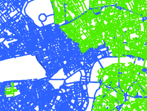
Speed Limit Map

TfL have published a “London Digital Speed Limit Map“, showing speed limits for cars on a map of London’s public roads, for the last few years. It is updated annually, and TfL have just released a 2017 version. The map is published alongside data supplied to digital mapping data providers, so that they can program […]
Continue reading »