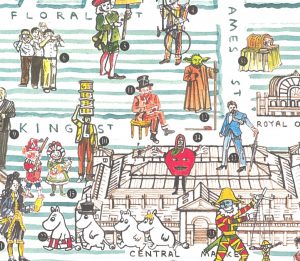
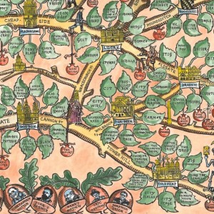
East End Independents – 2018 Edition

This lovely map, hand-created by artist-cartographer Adam Dant, which was commissioned by the East End Trades Guild, is launched today at their Christmas takeover of Old Spitalfields Market – you’ll be able to pick up a free copy there. The map shows the locations of some of the more interesting traders and small businesses in […]

Continue reading »

The Covent Gardener

In celebration of the Christmas lights being switched on in Covent Garden this evening, we feature this lovely map of the precinct, which has been drawn by artist Adam Dant, for The Covent Gardener, a periodical that focuses on the landmarks, shops and residents and characters of London’s famous and bustling shopping and tourism heart, […]

Continue reading »

Treasures of Hackney

This is a map of Hackney Borough, from the perspective of its old, wealthy houses, and the discovered and undiscovered treasures buried under them. It was drawn by Adam Dant, and is one of the maps featured in his book “Maps of London & Beyond” which was published last month and we reviewed. The map […]

Continue reading »

Maps of London & Beyond

Adam Dant has, for a long time, been sketching lovely maps of London history, culture and phenomena, often focusing in particular on S the historic East End. Now, Batsford, an imprint of Pavilion Books, has produced this book, collating Dant’s existing wonderful maps (and debuting some new ones) in single place and adding background information. […]

Continue reading »

East End Independents

This hand-sketched map has been produced by Adam Dant and Herb Lester, for the East End Trades Guild, to promote over 200 small businesses based in east and north-east London. Over a hundred of these are independent shops, cafes and restaurants to visit. The map is presented with an unusual projection, focusing on Columbia Road […]

Continue reading »

Argotopolis

tagfinearts_argotopolis_detail

Argotopolis is a map of London slang, created by Adam Dant (cartographer) and Jonathon Green (lexicographer). At first glance it looks like an ornate tree, look more closely and you’ll realise it is indeed a map, with Farringdon Road acting as the trunk of an “Old Oak” (aka the “Big Smoke”, aka London) – and […]

Continue reading »