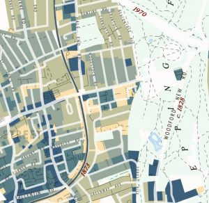
A Chronological Map of Walthamstow

This attractive map of the housing and infrastructure history of Walthamstow and Leyton in north-east London has been created by Scott Davies. Scott used QGIS and OpenStreetMap data to create an attractive, vintage-style basemap and then shaded residential areas with different colours indicating when each block was developed. Older areas are shown in blues, while […]

Continue reading »

Dwelling Ages

The Valuation Office Agency publish some interesting open data sets from time-to-time. One that caught my eye recently was a breakdown of counts of residential buildings in each small area (LSOA, around 700 houses) by the decade that they were built in. The data is not perfect for mapping – pre-1900 is grouped together into […]

Continue reading »