Alexandra Palace Guinea Season Ticket
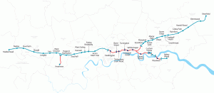
This map, dating from 1875, appears on the back of a “Guinea season ticket” for entry to Alexandra Palace, in north London. The palace was recently restored and public entrance is now available to some areas for free. It’s a nice, vin…
Continue reading »