AAG2018: Innovations in Urban Analytics
![]() Call for Papers, AAG2018: Innovations in Urban Analytics
Call for Papers, AAG2018: Innovations in Urban Analytics
We welcome paper submissions for our session at the Association of American Geographers Annual Meeting on 10-14 April, 2018, in New Orleans.

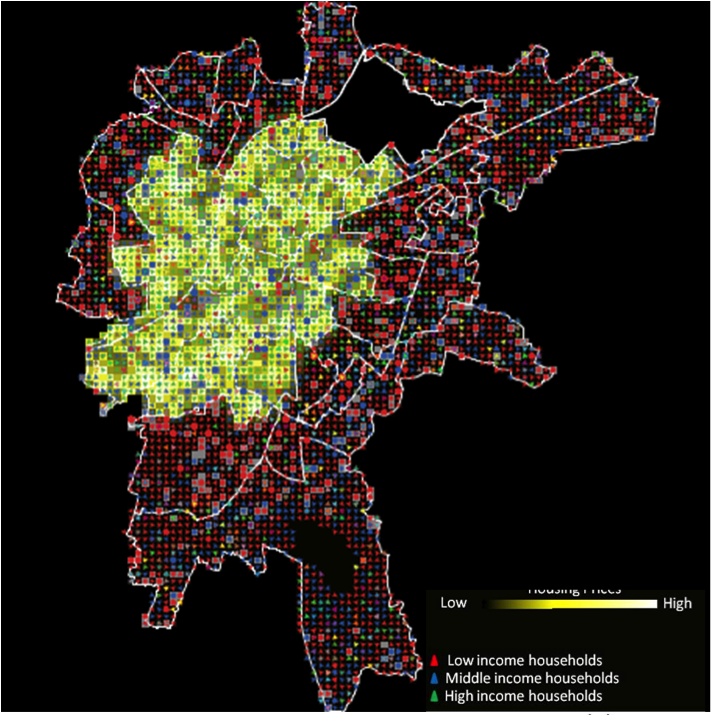
New forms of data about people and cities, often termed ‘Big’, are fostering research that is disrupting many traditional fields. This is true in geography, and especially in those more technical branches of the discipline such as computational geography / geocomputation, spatial analytics and statistics, geographical data science, etc. These new forms of micro-level data have lead to new methodological approaches in order to better understand how urban systems behave. Increasingly, these approaches and data are being used to ask questions about how cities can be made more sustainable and efficient in the future.
This session will bring together the latest research in urban analytics. We are particularly interested in papers that engage with the following domains:
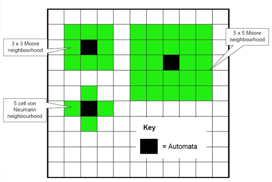
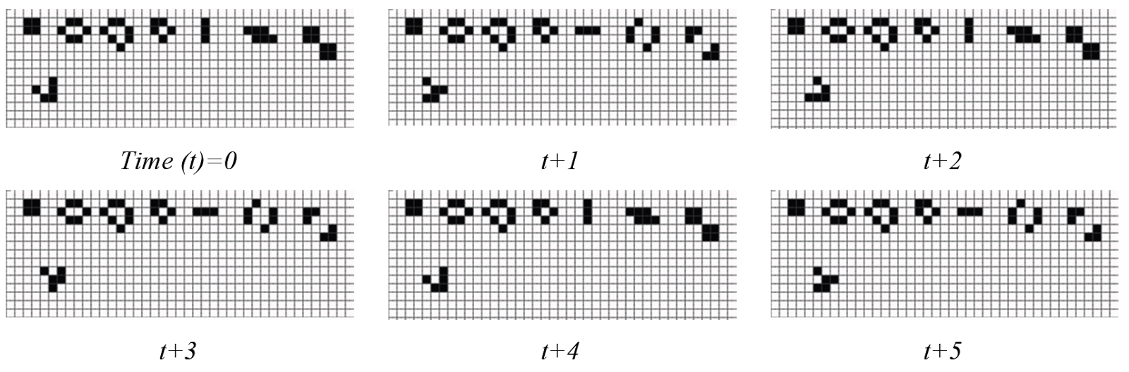
- Agent-based modelling (ABM) and individual-based modelling;
- Machine learning for urban analytics;
- Innovations in consumer data analytics for understanding urban systems;
- Real-time model calibration and data assimilation;
- Spatio-temporal data analysis;
- New data, case studies, demonstrators, and tools for the study of urban systems;
- Complex systems analysis;
- Geographic data mining and visualization;
- Frequentist and Bayesian approaches to modelling cities.
Please e-mail the abstract and key words with your expression of intent to Nick Malleson (n.s.malleson@leeds.ac.uk) by 18 October, 2017 (one week before the AAG abstract deadline). Please make sure that your abstract conforms to the AAG guidelines in relation to title, word limit and key words and as specified at: http://annualmeeting.aag.org/submit_an_abstract. An abstract should be no more than 250 words that describe the presentation’s purpose, methods, and conclusions.
For those interested specifically in the interface between research and policy, they might consider submitting their paper to the session “Computation for Public Engagement in Complex Problems” (http://www.gisagents.org/2017/10/call-for-papers-computation-for-public.html).
- 18 October, 2017: Abstract submission deadline. E-mail Nick Malleson by this date if you are interested in being in this session. Please submit an abstract and key words with your expression of intent.
- 23 October, 2017: Session finalization and author notification.
- 25 October, 2017: Final abstract submission to AAG, via the link above. All participants must register individually via this site. Upon registration you will be given a participant number (PIN). Send the PIN and a copy of your final abstract to Nick Malleson (n.s.malleson@leeds.ac.uk). Neither the organizers nor the AAG will edit the abstracts.
- 8 November, 2017: AAG session organization deadline. Sessions submitted to AAG for approval.
- 9-14 April, 2018: AAG Annual Meeting.
- Nick Malleson, University of Leeds, UK
- Alison Heppenstall, University of Leeds, UK
- Andrew Crooks, George Mason University, US
- Tuuli Toivonen, University of Helsinki, Finland
- Alex Singleton, University of Liverpool, UK
- Ed Manley, UCL, UK