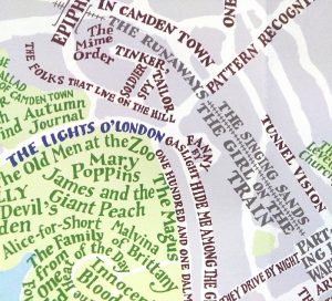
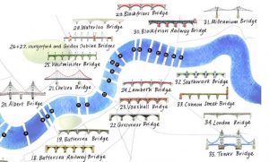
Circle Line Food Crawl!
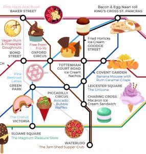
You’ve done the Circle Line Pub Crawl. Now try the Circle Line Food Crawl. Or use this special “Food Tube Map”, produced by Wren Kitchens (they write about it here), to visit unusual gastronomic experiences anywhere inside the Zone 1 area marked out by the Circle Line. The 25 restaurants and eateries included in this […]
Continue reading »