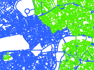
Travel Times, cost distances and more in NetLogo
Just a short post to highlight Rohan Fisher’s excellent website demonstrating and sharing a number of NetLogo models. One such example is shown below, which integrates GIS cost distance analysis to explore access to services via travel times (click her…
Continue reading »


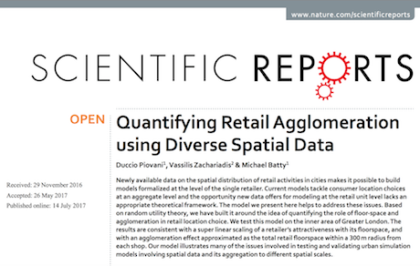 A paper originating from our EU FP7 Insight project on extending land use transportation models to embrace better sub models of the retailing sector. Our paper entitled “Quantifying Retail Agglomeration using Diverse Spatial Data” by Duccio Piovani, Vassilis Zachariadis and …