Food Maps

Here’s some arty maps of localities in London which have a distinctly culinary theme. “Edible Clapham” drawn by Lis Watkins and commissioned by Incredible Edible Lambeth – more a series of colourful, detailed drawings linked together by a walking route, it nonetheless is the map needed for a foodie tour of this trendy neighborhood: “Tootopia”, […]

Continue reading »

Food Map of Waterloo

lowermarsh_food

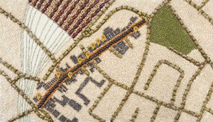
I’ve seen maps of food locations in London before, but not one actually made of food. Food 4 Thought, created by artist Ali Zaidi a few years ago, for “Multiwalks”, a mobile tours platform, has a distinctly organic feel to it. Lower Marsh, a street full of eateries near Waterloo station, is mapped in detail […]

Continue reading »

Graphic Watercolour Map

watercolour_extract

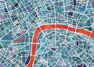
Here’s a lovely looking artistic map of London. Created by Ben Grib in a “watercolour” style and produced as a print on “natural” textured art paper with plenty of grain, the Graphic Watercolour Map shows the spaces between streets with a characteristic painted look, the tones varying from block to block. The remaining white space […]

Continue reading »

Argotopolis

tagfinearts_argotopolis_detail

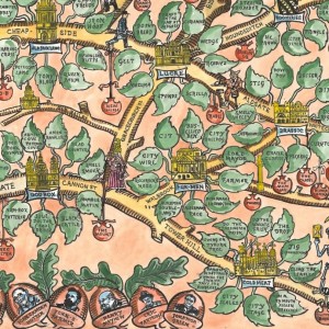
Argotopolis is a map of London slang, created by Adam Dant (cartographer) and Jonathon Green (lexicographer). At first glance it looks like an ornate tree, look more closely and you’ll realise it is indeed a map, with Farringdon Road acting as the trunk of an “Old Oak” (aka the “Big Smoke”, aka London) – and […]

Continue reading »

Typographical Map of London

glp_art_typographical_map_london

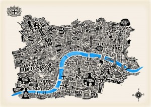
The Typographical Map of London, created by artist Joao Fonte, shows central London as a collection of symbols and words, arranged in a topologically representative form to show the city’s structure in a novel way. We really like the way the artist has been careful in their choice, and number, of colours, these add significantly […]

Continue reading »

Lumiere London

Lumiere London is a festival of light and art taking place every evening until this Sunday. From 6:30-10pm, nearly 30 temporary artworks in central London will come alive with lights. From a holographic elephant to neon sausage-dogs and a strange organic-looking structure suspended over London’s principal crossroads (Oxford Circus), it’s a great excuse to brave […]

Continue reading »

10×10 London: Land Water Land

Every year, for the last few years, Mapping London editors Oliver and James have been invited to create and submit an artwork for 10×10 London, a charity art auction organised by Article 25, the architectural development charity (originally called Architects for Aid). Being neither artists or architects, it is very flattering that we have been […]

Continue reading »

Josie Shenoy’s “River Thames”

Mapping London stumbled upon this lovely cartographic art-piece of London, created by illustrator Josie Shenoy, at her stall at the South Bank Christmas Market (almost underneath the southern end of the Hungerford Bridge that goes across to Charing Cross, near Foyles’s South Bank outpost). It’s called River Thames and is available as a print and […]

Continue reading »

Currency and Cartography

Currency and Cartography is an solo exhibition by artist Justine Smith, available to view in the gallery space at The Map House in Knightsbridge, a specialist map dealer (and treasure trove crammed with thousands of other maps, globes, illustrations and other prints – be warned you will get lost browsing in this small but perfectly […]

Continue reading »

Fuller’s London Town

Artist Gareth J Wood, aka Fuller, unveiled this striking black-and-weight map-based artwork over London, yesterday. The work was started way back in 2005, and after a four-year pause, Fuller came back and completed the piece, which is well over a metre wide. The work, which can be seen alongside similar works for Bristol and Purbeck, […]

Continue reading »
1 2 3